
HikeSupply Co.
Utah's Mighty 5 — 10 Best Day Hikes GPX Route Collection
Utah's Mighty 5 — 10 Best Day Hikes GPX Route Collection
Couldn't load pickup availability
Instant access — your files are available immediately after checkout. No physical item will be shipped.
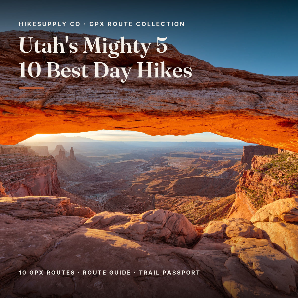
Utah's five national parks, told through ten of their best day hikes — a river walk through a slot canyon, trails among the hoodoos, and the arches that made the state famous. GPS routes you can follow on your phone, real photos and elevation profiles, and a trail passport to collect every hike.
What's inside
- 10 GPX route files — one per trail, plus a bonus file extending The Narrows to Big Spring — ready to import into AllTrails, Gaia GPS, Komoot, or your GPS watch
- A full Route Guide (Letter, A4 and mobile editions): a real photo, route map, elevation profile, trailhead logistics and local tips for every trail
- A fillable Trail Passport — tick off each hike and log the date, weather, who you hiked with and your best moment
- 10 collectible trail badges plus a shareable Instagram Story image for every hike
The trails
- Canyon Overlook Trail (Zion) — 1.0 mi, easy–moderate
- Emerald Pools Trail (Zion) — 2.2 mi, easy–moderate
- The Narrows to Wall Street (Zion) — 5.0 mi, moderate (river wading)
- Navajo Loop & Queen's Garden (Bryce Canyon) — 2.7 mi, moderate
- Fairyland Loop (Bryce Canyon) — 7.6 mi, strenuous
- Delicate Arch Trail (Arches) — 3.0 mi, moderate
- The Windows & Double Arch (Arches) — 1.3 mi, easy
- Mesa Arch Trail (Canyonlands) — 0.7 mi, easy
- Hickman Bridge Trail (Capitol Reef) — 1.8 mi, easy–moderate
- Cassidy Arch Trail (Capitol Reef) — 3.3 mi, moderate
One road trip, five parks
The set runs from half-hour sunrise walks to full-day hikes, so it works for a first Utah road trip and a return visit. Every route is measured from real GPS data, so the distances and climbs are what you'll actually walk. Import the GPX, download each park's offline map, and your live position shows against the route even without signal.
Instant digital download
You'll receive the complete bundle immediately after purchase: 11 GPX files, the Route Guide with Trail Passport in Letter, A4 and mobile editions, and the badge and Story image pack.
Trail data: National Park Service (public domain); The Narrows, Navajo Loop & Queen's Garden, Fairyland Loop, Delicate Arch and The Windows & Double Arch © OpenStreetMap contributors (ODbL). Elevation: USGS 3DEP. Cover photo: Thomas Wolf, www.foto-tw.de, CC BY-SA 3.0, via Wikimedia Commons; other photos via Wikimedia Commons — full credits in the guide. Conditions change — always follow current park guidance.
Share